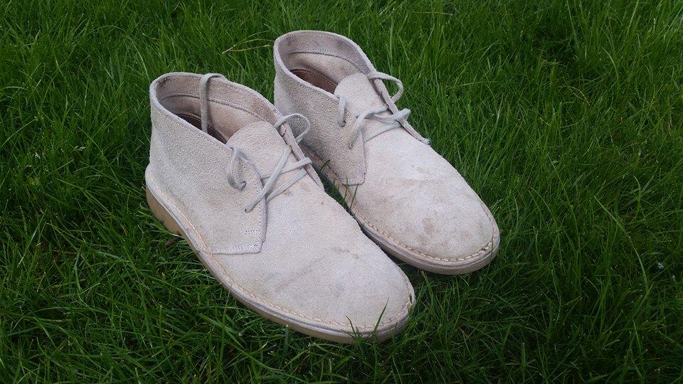
The shoe factory
South Africa's oldest, founded 1836, and the first commercial maker of the veldskoen. Shoes are still cut and hand-stitched here, and you can buy a pair at the door.
Free to lookWeekday hours varyBring cash
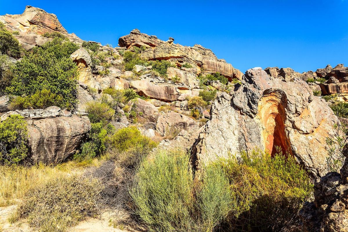
Wupperthal is small. What you come for is a working village, and then a valley that keeps going.
You can see the village itself in an afternoon: the factory, the church, Die Werf, a walk down the street and lunch at Lekkerbekkie. What most visitors underestimate is everything past it — the waterfall at Eselbank, the outstations on the gravel, the rock art, and some of the finest hiking in the Western Cape, including one trail where donkeys carry your bags over a mountain pass.
South Africa's oldest, founded 1836, and the first commercial maker of the veldskoen. Shoes are still cut and hand-stitched here, and you can buy a pair at the door.
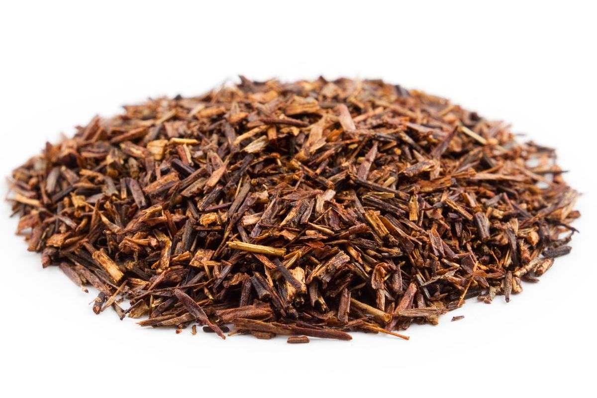
The village co-operative farms rooibos on the slopes around the valley without irrigation, fertiliser or pesticide, and sells it under its own name.
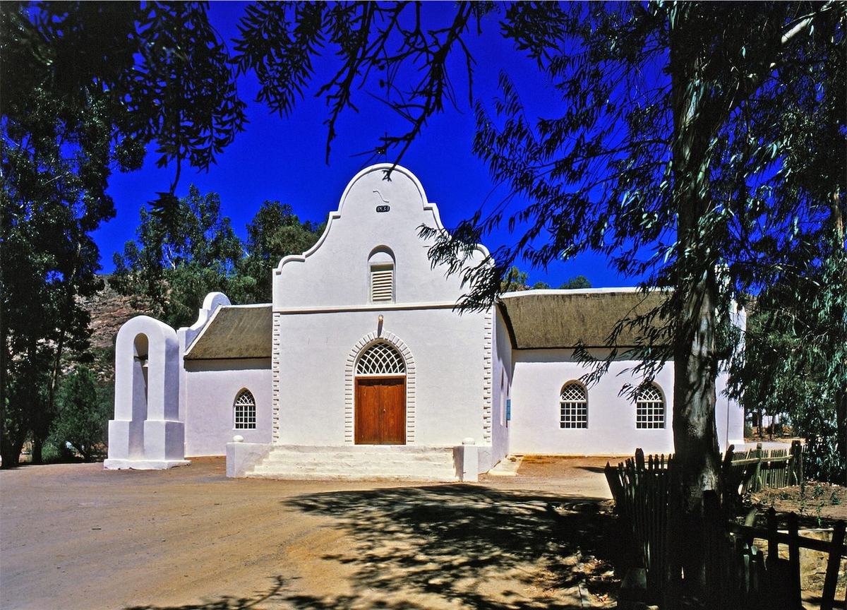
Whitewashed, gabled and thatched, dating from the 1830s, still in use. Visitors are welcome at services — dress and behave as you would in any village church.
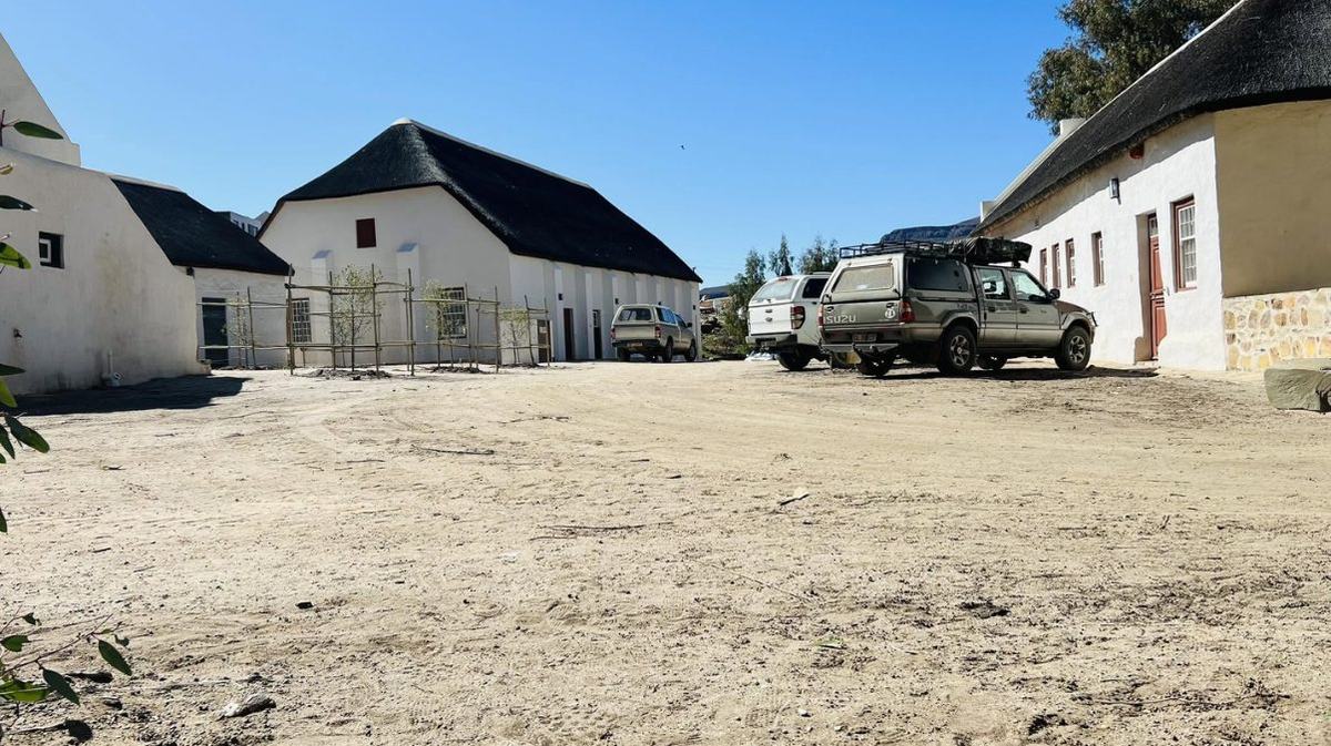
The communal yard: the hall, the hostel, the butchery, a rooibos cosmetics shop, the Louis Leipoldt Museum and the Mission Store — one of the oldest buildings in the valley.
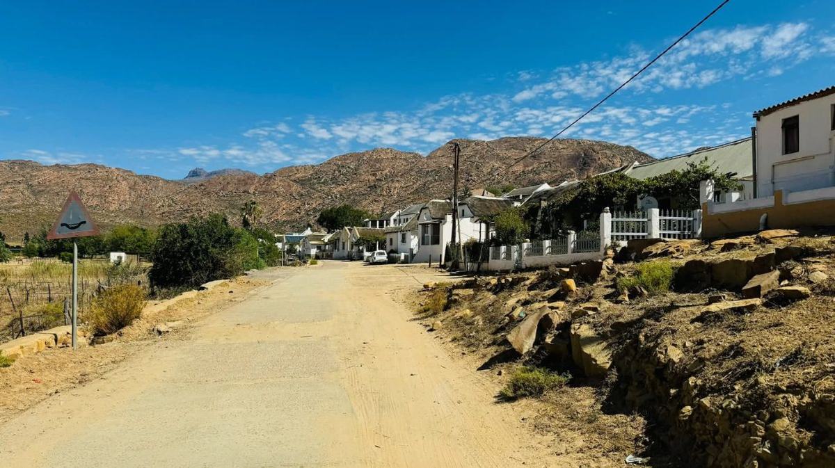
One winding gravel street, water running in furrows, cottages either side, mountains closing both ends. Go slowly, greet people, and ask before photographing anyone's home.
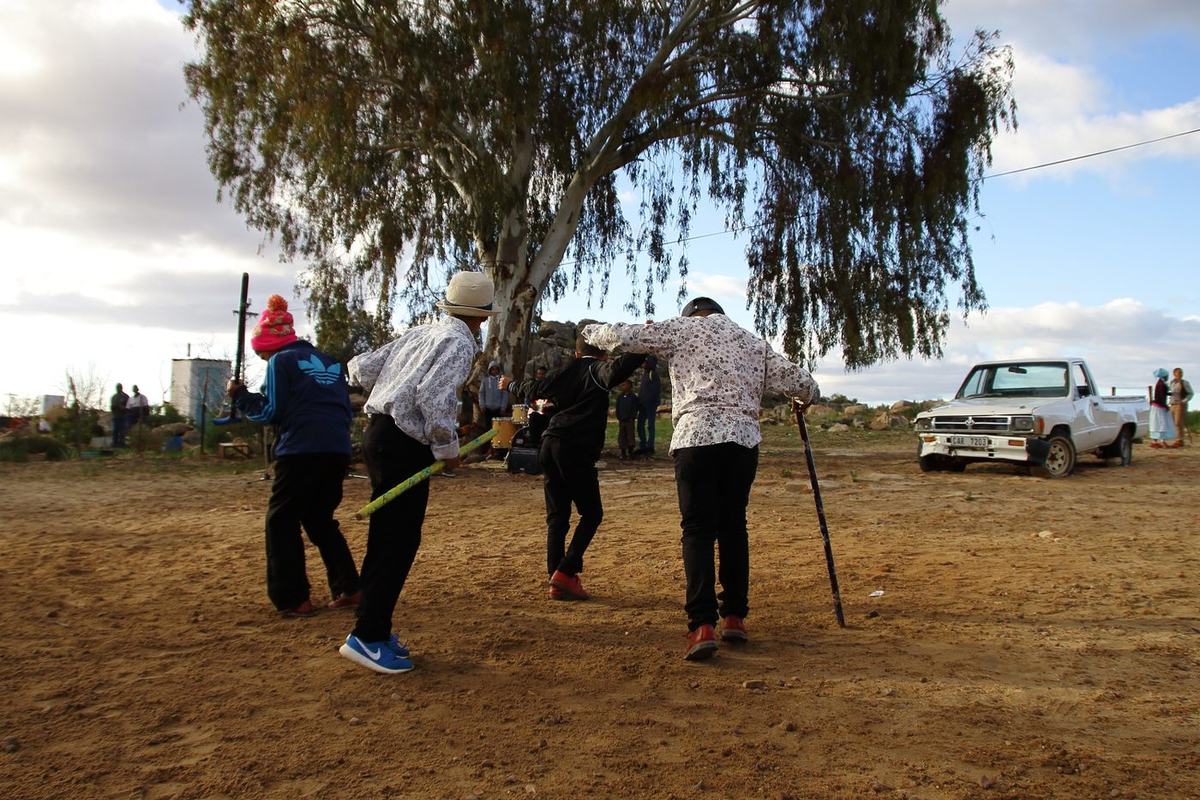
Die Nuwe Graskoue Trappers, from Wupperthal and its outstations, are among the country's best riel dancers — national junior champions three years running and medallists in Los Angeles.
Roughly 8 km south of the village, on gravel, sits Eselbank — a handful of households, one of Wupperthal's outstations. About a kilometre from it the Tra-Tra system drops over a lip of sandstone into a pool, with viewpoints above and a natural rock arch on the southern side that locals call the Ereboog. It is the classic half-day outing from the village: drive out, walk in, swim if the water is up, drive back.
The road to the village is fine in a normal car in dry weather. The roads beyond it — to Eselbank, and on toward Matjiesrivier — are rocky and steep in places. High clearance is strongly advised, and in the wet season a 4x4 is effectively mandatory. If you are in a hired sedan, ask locally before you commit, or walk.
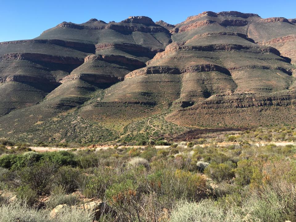
We have no photograph of the waterfall itself that we are licensed to publish, so we are not showing one. If you have taken a good one and would let us use it with credit, we would like to hear from you.
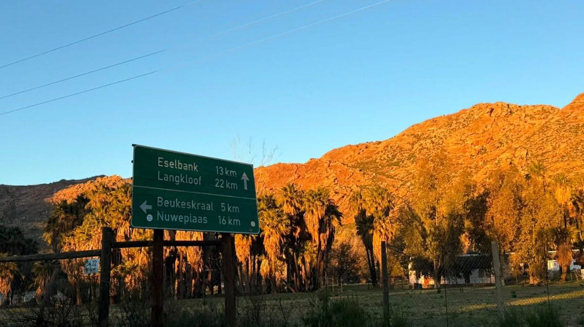
Wupperthal is not one settlement but a scatter of them, all part of the same mission: Eselbank, Langkloof, Beukeskraal, Kleinvlei, Heuningvlei, Nuweplaas, Grasvlei and others, spread over gravel roads and mountain tracks. Each is a few houses, a church or school hall, rooibos on the slopes and donkeys in the yard. Driving out to one is the single best way to understand the valley — and the road signs at the edge of the village, pointing to Eselbank 13 km and Langkloof 22 km, are the invitation.
This is the one people travel for. A donkey cart works the roughly 12 km jeep track between the Pakhuis Pass and Heuningvlei, a small community in the northern Cederberg — about two hours by cart, or two and a half to three hours if you walk it, with something like 250 m of climbing and 300 m of descent. You can ride, or send your bags ahead and walk. Either way it ends at a community lodge or a homestay, with dinner, breakfast and a packed lunch cooked by the women of Heuningvlei.
Two honest warnings from the operators themselves. The track erodes badly in heavy rain, and when it does the cart cannot safely carry passengers — you may have to walk, so ask when you book. And a donkey cart on a rocky jeep track is not a comfortable ride. That is rather the point.
Through the Cederberg Heritage Route, which packages the trail with accommodation and permits, or directly with Heuningvlei community tourism — published as 027 492 3070. Heuningvlei Lodge, which sleeps 16 on a self-catering basis, is listed with a contact number of 027 492 3323 (Riaan Solomon).
Numbers as published by the Cederberg tourism association and SA-Venues; confirm before you rely on them. We are not the operator and take no booking.
The village sits at the edge of the Cederberg Wilderness Area. That means real mountains, real distances and a permit.
The Cederberg Heritage Route runs a slackpacking trail that ends in the village. Broadly: day one, Clanwilliam to Heuningvlei by donkey cart or on foot (about 12 km); day two, an escorted hike through the Wilderness Area to Brugkraal, roughly 16 km over seven to eight hours; day three, down the valley to Wupperthal, about 12 km, including some three and a half kilometres of open veld with no path, with an optional waterfall detour; day four, the transfer back to Clanwilliam, with the rock art trail as an option. Graded roughly 2A to 3B, maximum ten hikers, beds and breakfasts in community cottages and lodges along the way.
The Cederberg Wilderness Area is managed by CapeNature, and permits for the northern section are issued at Kliphuis campsite on the Pakhuis Pass — published contact 027 482 2403. Guided trails booked through the Cederberg Heritage Route handle this for you. Do not walk into the wilderness without one.
Trail distances, gradings and times are as published by the Cederberg Heritage Route and the Cederberg tourism association. Times assume you are reasonably fit and carrying a day pack; add for heat, and take far more water than feels necessary.
These mountains hold one of the great concentrations of San rock painting anywhere, and some of it is a short drive from the road you came in on.
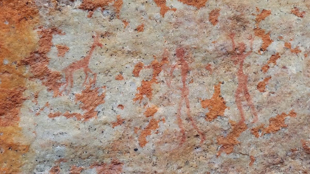
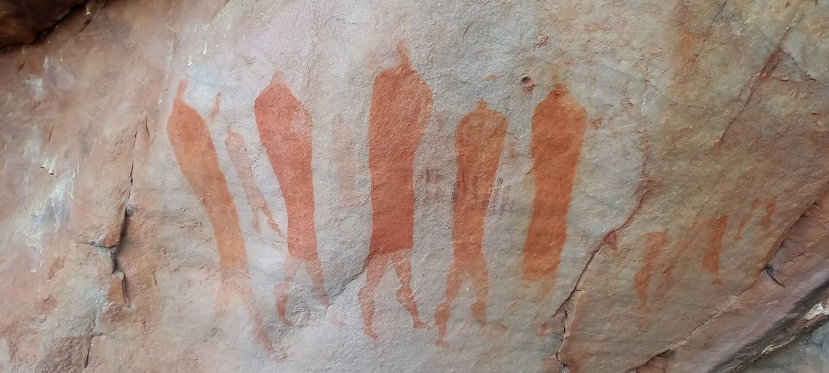
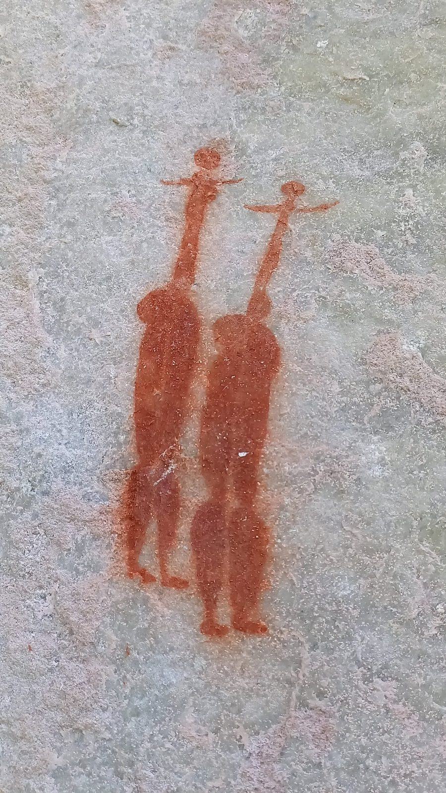
Rock art of the Cederberg. Photos Zaian (CC0 and CC BY 4.0) via Wikimedia Commons — sites near Sevilla and the Stadsaal caves, not at Wupperthal itself.
The Sevilla Rock Art Trail is the accessible one: based at Traveller's Rest, about 36 km from Clanwilliam on the Pakhuis road, a self-guided walk of roughly 5 km past nine or ten painted sites, two to three hours at a gentle pace. You buy a permit at the farm stall and it comes with a pamphlet that explains what you are looking at. Reports put the fee at around R50 a person with under-12s free, but treat that as indicative and check on the day.
Closer to the village there is painted rock in the mountains and up the Eselbank River, sometimes reached on the guided trails. Rock art is fragile and often on private or community land: go with someone local, never touch a painting, and don't post precise directions to an unprotected site.
The quiet things are half the reason to stay a night rather than turn around.
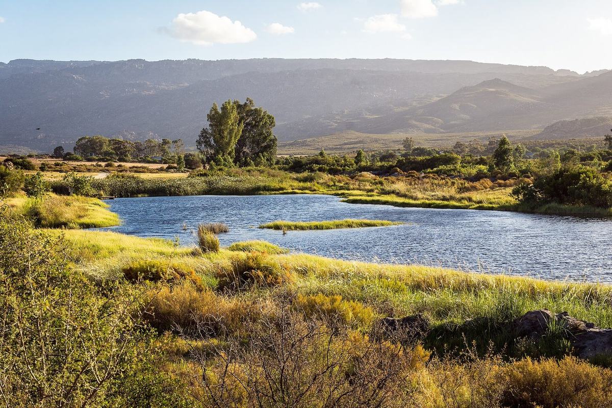
The Tra-Tra runs through the village and down the valley, tannin-dark and cold. Pools fill after the winter rain and hold through spring; by late summer many are low or dry.

There is almost no light here. On a moonless night the Milky Way is the brightest thing in the valley, and you do not need a telescope or a guide — just step outside and let your eyes adjust.
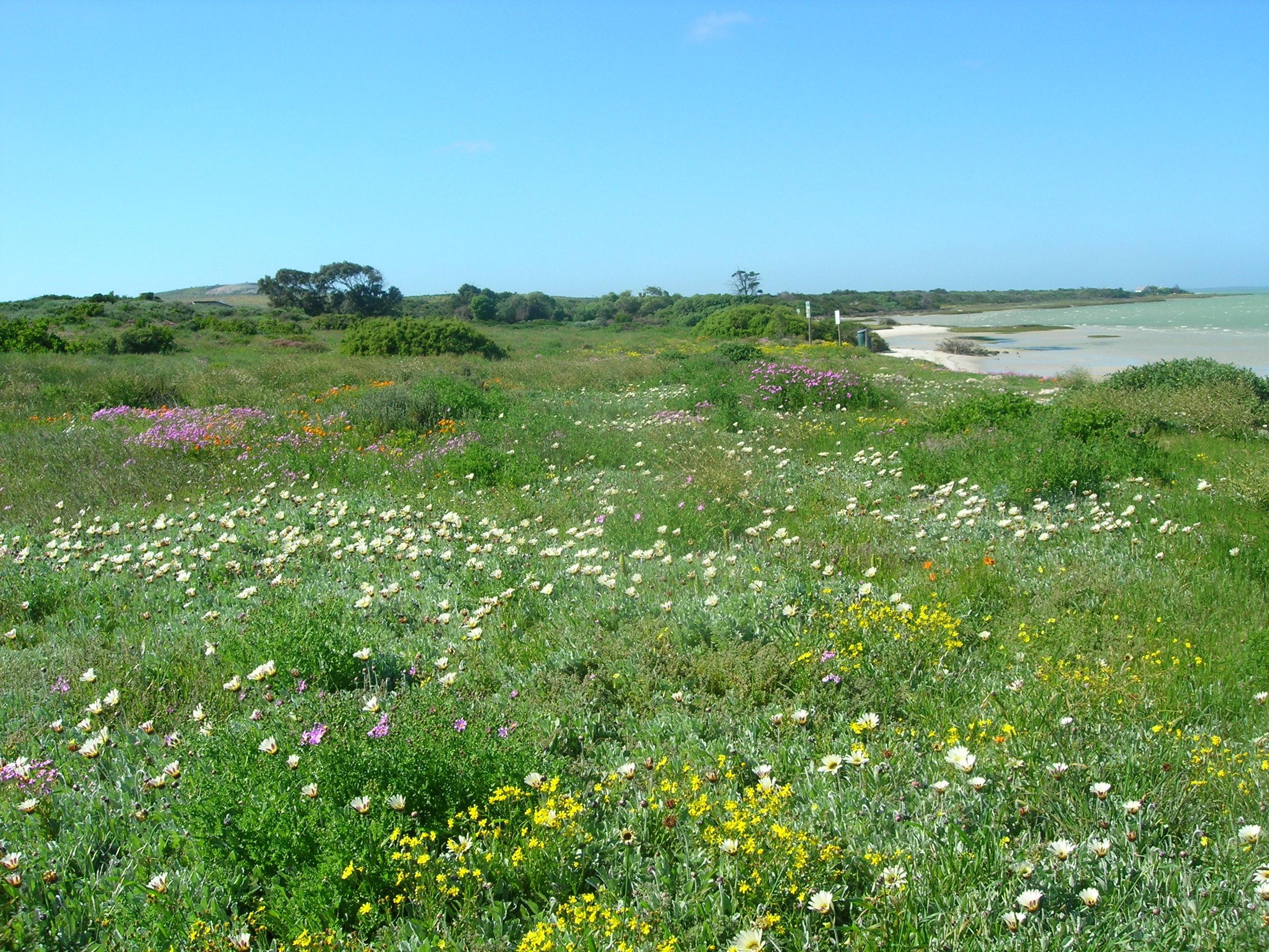
For a few weeks each spring the veld on the road in — and the Biedouw valley in particular — fills with daisies. Timing shifts every year with the winter rain.
Last updated August 2026 · confirm bookings, permits and road conditions locally before you drive